Imploding the Post-Disaster Information Vacuum: Crowd-sourcing a real-time flood map for Indonesia
Michigan Engineering, University of Michigan. Source: http://umjakarta.tumblr.com/post/138686879641/photos
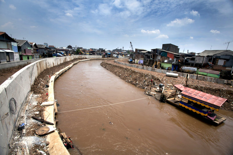
For the launch of our Monsoon Assemblages seminar series, on the 23rd of September, 2016, Dr. Tomas Holderness, research associate at MIT, Cambridge, MA, presented the PetaJakarta open source flood map, for Jakarta.
The project is already in the course of its third year of development, and is built around the construction and operationalisation of a crowd-sourcing – partially language-related – data collection open source free software. The software analyses mostly tweets and Qlue© entries (an Indonesian app for reporting malfunctions and making complaints to city and government institutions) during extreme climatic events and floods in the city of Jakarta, Indonesia, extracting data and making them reliable and rapidly available for the operations of flood alleviation and rescue.
Tomas briefly presented the city, clarifying the natural/man made hydrological conditions which contribute to the floods, then expounded the rationale and implementation of the project. In a nutshell, in case of extreme weather, the software gathers tweets relating to floods (chosen for their georeferenced embedded information), according to pre-set criteria of word recognition. The software architecture is then built to respond to target tweets, confirming the relevance of their content. Qlue© entries are also used, which display the added feature of being submitted by registered users, explicitly with the purpose of interacting with government officials.
This double approach is extremely relevant, since it mitigates the ‘noise’ effect often characterising solely language-related data collection on social media platforms (where the word ‘flood’ could be used metaphorically, for instance).
Based on these data, maps are generated, which assist city and state officials in prioritising interventions, and interact live with affected persons in order to monitor the evolution of the floods. A remarkable feature of the context, which the project could take advantage of, is the small dimension of postcode areas which allow a quite accurate data elaboration and visualisation, and therefore targeted intervention after information is crunched and transformed into interactive maps for the use of city and state agencies. This, also allows precise maps to be later developed in order to build precise information on the ground conditions at a rather local scale.
The presentation raised very interesting questions relating to the limits of technological approaches in empowering local communities in setting their own agenda in terms of flood mitigation (as opposed to institutions), the use of the human body as a scale to assess risk and damage, the possible exclusion of the urban poor as relevant informants on the effects and causes of the floods, the necessity of an anthropological study of the way data is collected and later used, data ownership and protection, the assemblages of objects, bodies and associations necessary to build technical and geographical knowledge on risk.
[slideshare id=66857231&doc=holdernessmonsoonassemblagepublic-161007130321]
Suggested reading by the guest presenter:
Cohen, D. R., The Earthquake Observers, University of Chicago Press, Chicago, 2013.